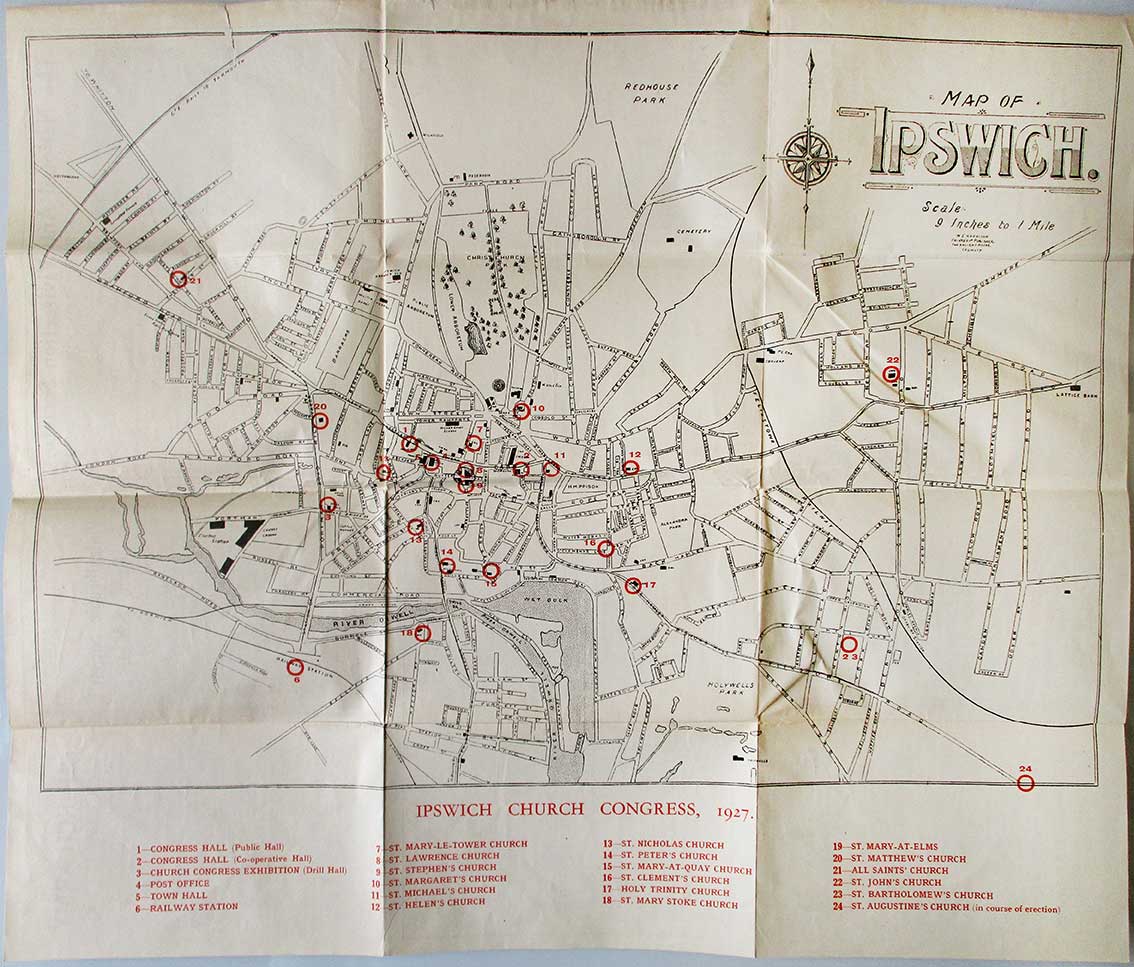
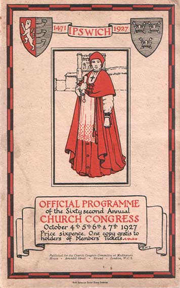
This 106 page booklet (22cm x 14cm) was produced for the sixty-second Church Congress held in Ipswich in 1927. The decorative cover bears an illustration of Cardinal Wolsey with the Wolsey Gate in the background. The fold-out map shown above is hand-drawn and lettered, produced by 'W.E. Harrison, Printer & Publisher, The Ancient House, Ipswich'. There are one or two anomalies. To the east of the town, the Felixstowe to Westerfield branch line is shown crossing Spring Road, heading north past the end of Ashemere Grove and apparently running under a bridge on Bell Vue Road and Woodbridge Road together. The railway actually runs under a bridge on Woodbridge Road, as shown on the street maps on our Belle Vue Road page.
It is interesting to note that number 24, circled in red just off the map at bottom right (on the junction of Felixstowe Road and Bucklesham Road), opened in 1927, presumably when the map was made it was still 'in course of erection'. It was designed by the diocesan architect, H. Munro Cautley, who with his partner Leslie Barefoot had a practice in Cornhill Chambers in the Thoroughfare. This was the first of three Ipswich churches designed by Cautley therefore St Andrew, Britannia Road and All Hallows, Landseer Road do not appear on the map.
©2004 Copyright throughout the Ipswich Historic Lettering site: Borin Van Loon
No reproduction of text or images without express written permission