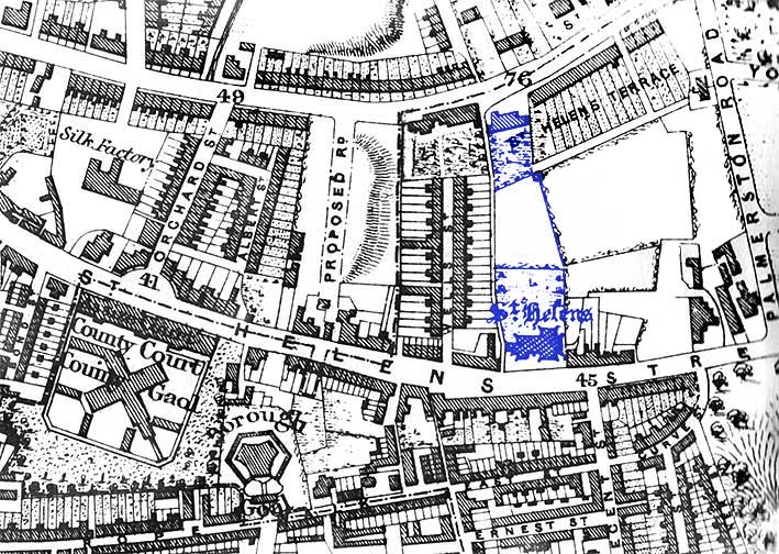
 1867
map
1867
map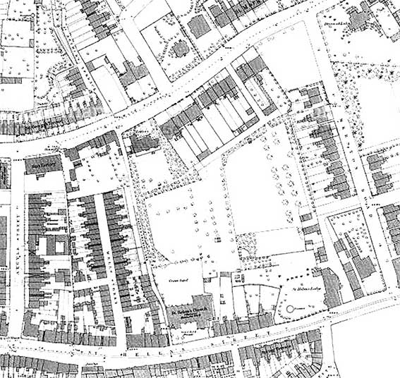 1884
map
1884
map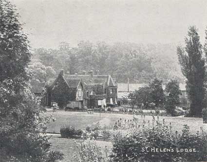 1907
view
1907
view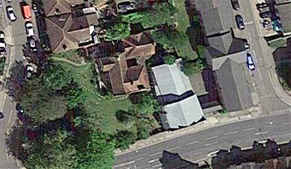
 2015 image
 Late 1990s
image
Late 1990s
image 1969
map
1969
map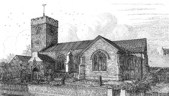
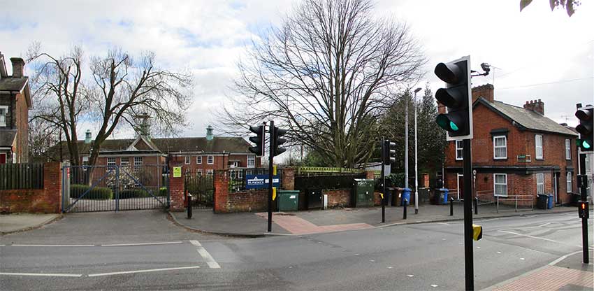
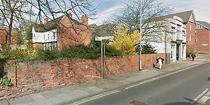
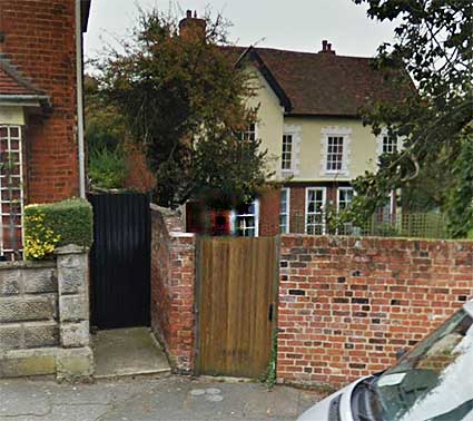
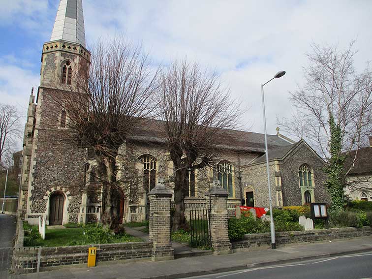 2020 images
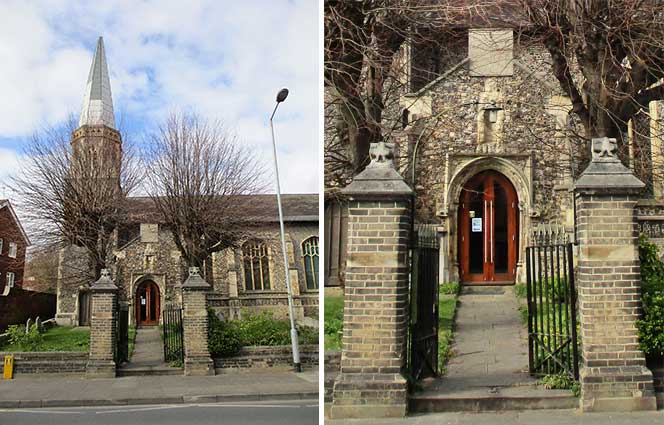
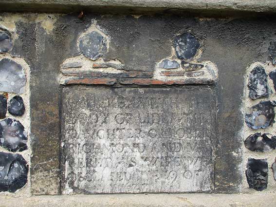
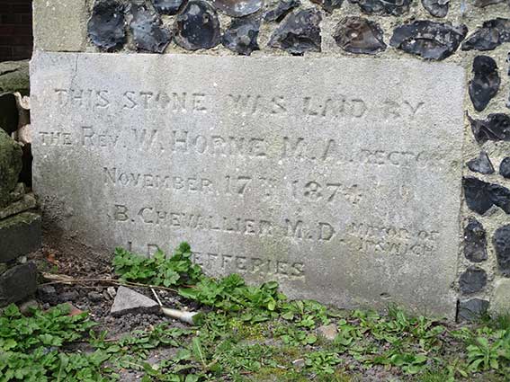
THE REV. W. HORNE M.A. RECTOR
NOVEMBER 17TH 1874
B. CHEVALLIER M.D. MAYOR OF IPSWICH
J.R. JEFFERIES'
Dr Barrington Chevallier was
Mayor of Ipswich 1873-1875.
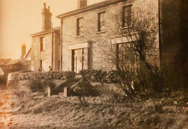
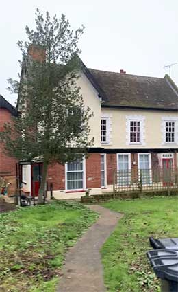
John Robert Jefferies (1840-1900) who was an apprentice, son-in-law and later partner of the Ransomes in the nearby huge Orwell Engineering Works on the east bank of the Wet Dock: Ransomes, Sims & Jefferies. John Jefferies lived up the road at St Helen's Lodge (see the 1907 postcard above) – today its garden is bounded by Jefferies Road. It is possible that J. R. Jefferies was a member of the St Helen congregation, although a wicked part of us would place him more at St Mary-Le-Tower.
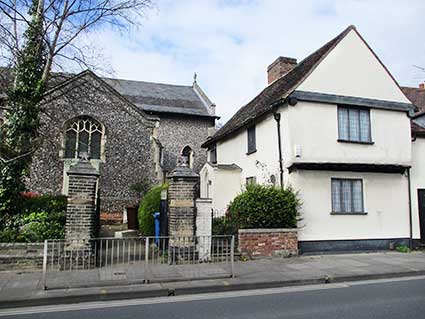
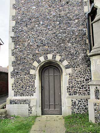
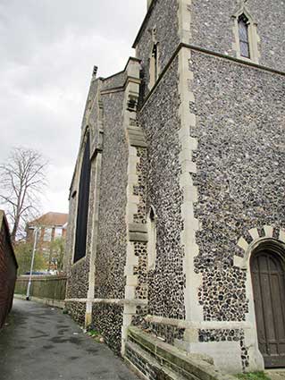
Next to the foundation stone is St Helens Church Lane and the view up the lane (below) shows west walls of the tower and nave right up agains the lane. One can also observe the rather 'pieced together' nature of the 1874-5 rebuild. In the distance is part of St Helen's School.
The south porch
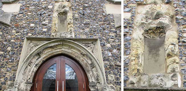
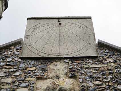
Here we can see definite traces of the medieval church, not least by its weathering. The angels in the spandrels above the arch, the flowers arranged around the arch and particularly in the degraded niche above (as shown in the close-up) which once had something akin to fan tracery in the upper part. At the apex of the porch a rather more recent sundial, missing its gnomon (shadow-caster), has been mounted. Interestingly, the Roman numerals inscribed around their circle don't quite fit on this panel at the bottom.
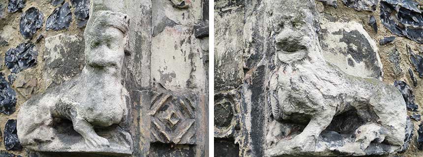
Below: the guardians on either side of the church entrance – two crowned lion-like mythical beasts.
John Robert Jefferies (1840-1900) who was an apprentice, son-in-law and later partner of the Ransomes in the nearby huge Orwell Engineering Works on the east bank of the Wet Dock: Ransomes, Sims & Jefferies. John Jefferies lived up the road at St Helen's Lodge (see the 1907 postcard above) – today its garden is bounded by Jefferies Road. It is possible that J. R. Jefferies was a member of the St Helen congregation, although a wicked part of us would place him more at St Mary-Le-Tower.
Next to the foundation stone is St Helens Church Lane and the view up the lane (below) shows west walls of the tower and nave right up agains the lane. One can also observe the rather 'pieced together' nature of the 1874-5 rebuild. In the distance is part of St Helen's School.
The south porch
Here we can see definite traces of the medieval church, not least by its weathering. The angels in the spandrels above the arch, the flowers arranged around the arch and particularly in the degraded niche above (as shown in the close-up) which once had something akin to fan tracery in the upper part. At the apex of the porch a rather more recent sundial, missing its gnomon (shadow-caster), has been mounted. Interestingly, the Roman numerals inscribed around their circle don't quite fit on this panel at the bottom.
Below: the guardians on either side of the church entrance – two crowned lion-like mythical beasts.