Primitive Methodist Chapel
4 Rope Walk
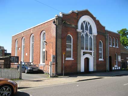
This building in 2013 is a church of the Seventh Day Adventists
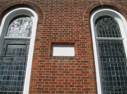
and it was only recently that we noticed a tablet set into the side
wall, visible from the small car park.
 2013 images
 Retouched,
summer 2013
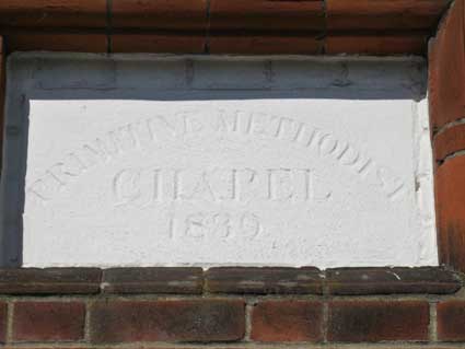
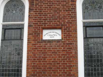
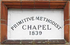
'PRIMITIVE METHODIST
CHAPEL
1839'
The last numeral looks like a
zero due to overpainting, but is in fact a '9'. Inside the brickwork
frame, one
can see that the tablet is set into another brick surround, now painted
white.
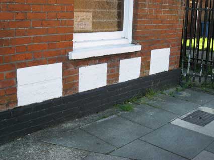
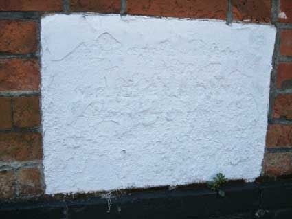
The front elevation bears four foundation stone plaques which
have been made of poorer material to thos seen on the nearby Christ
Church in Tacket Street, albeit that they are are seventy years
older.
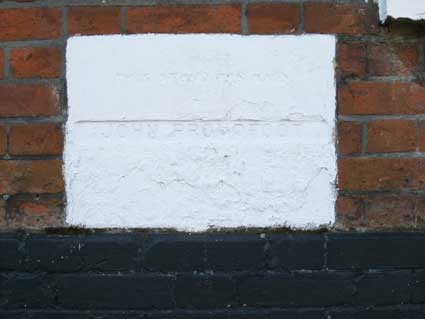
The first is the most easily readable, mainly due to the name
apprently having been recarved/replaced (perhaps a spelling error on
the
original?):
'THIS STONE WAS LAID BY
JOHN PROUDFOOT'
[remainder eroded]
The other tablets are barely discernible:
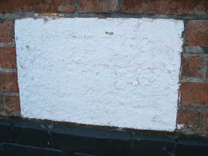
'THIS STONE WAS LAID BY
MRS C. SIMPSON[?]
MINISTER ... SPOONER'
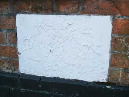
'THIS STONE WAS LAID BY
REV. W.L.[?] SPOONER'
'THIS STONE WAS LAID BY
MR. E. GLADING[?]'
The 1881 map of the Rope Walk area shows the Methodist Chapel ('Primitive;
Seats for 280') – here outlined in red – to be one of
the few buildings still standing today.
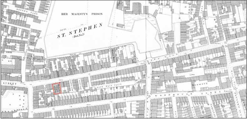 1881 map
detail
County Hall at this time was Her Majesty's Prison (that's Queen
Victoria, of course) and the southern boundaries can be seen. The
prison was demolished in the 1920s. Rope Walk
runs roughly horizontally across the map to flow into Eagle Street
mid-left. South of and almost parallel with Rope Walk is Woodhouse
Street, the name of which continues in the Woodhouse Square council
housing. The narrow lane at top right is Dove Lane, which has since
been widened into Dove Street. One or two interesting features are a
brewery in Woodhouse Street, a public house opposite the Primitive
Methodist Chapel called The Cow & Pail; behind it
the tiny Pail Court, one of a number of courts: Osborn's Court,
Randall's Court, Rope Walk Court, Samuel Court, Bacon's Court, Queen's
Court, Prince's Court, St Helen's Court, St Helen's Place, Farman's
Court, Regent Court and so on (see also our Courts
& yards page). There are two Mission Rooms close to the Chapel
in Rope Walk and, south of the brewery, the Zoar Chapel ('Particular
Baptists; Seating for 500') in David Street: bottom right on the
above map. When the whole area was cleared in the twentieth century,
the Zoar Baptist Chapel relocated to new
premises on the corner of St
Helens Street and Rope Walk (in 1881 that end section was called 'Curve
Street' for obvious reasons). Rope walks tend to be wide areas for the
making of ropes to be stretched across the spaces. We
are told that the middle section of Rope Walk to the
east of the Primitive Methodist Chapel was once an open area but by
1881 had been infilled with housing.
Compare this building with another Primitive Methodist Chapel in
Clarkson Street, with tablets
dating to 1874; also Westleton Primitive Methodist Chapel.
See also our page on Ropewalks
for an ancient industry in this part of Ipswich.
Home
Please email any comments and contributions by clicking here.
Search Ipswich
Historic Lettering
©2004 Copyright
throughout the Ipswich
Historic Lettering site: Borin Van Loon
No reproduction of text or images without express written permission


 2013 images
 Retouched,
summer 2013


 1881 map
detail