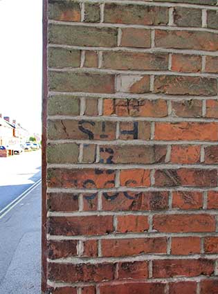
'PARADE FIELD
TERRACE
1849'
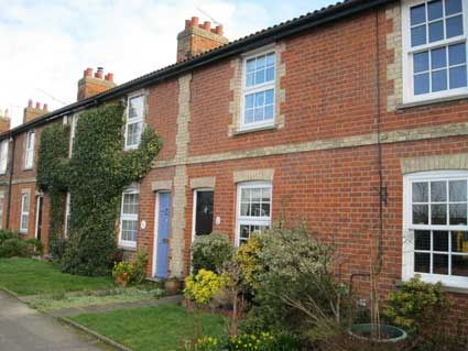
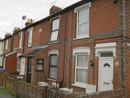
The name plaque is at first
storey level in the Suffolk white brick feature between numbers 10 and
12 Belvedere Road. Despite the ivy tendrils and
weathering, the lettering should be clearer if viewed in raking
sunlight (or streetlight).
 2014 images
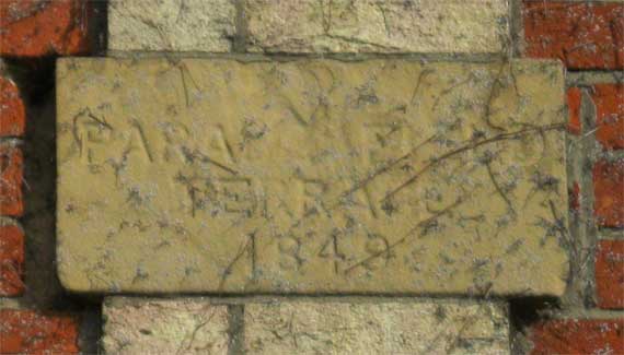
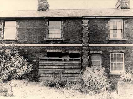
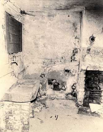
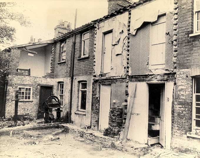
 Photograph courtesy The Ipswich Society
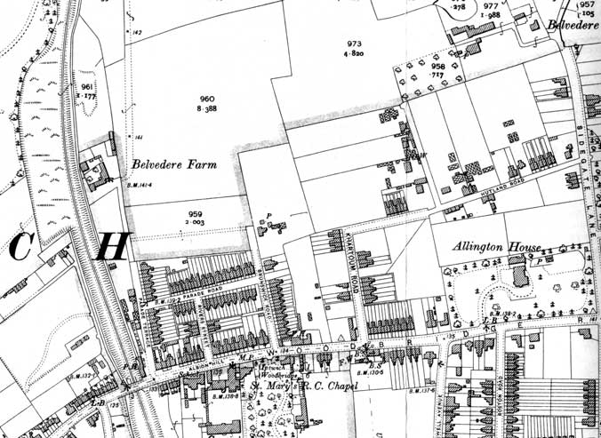 1902
map
1902
map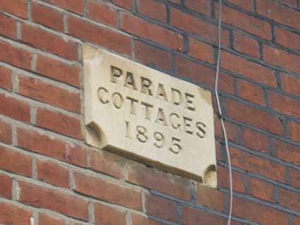
 2016 images
 2015 images
 2020 images