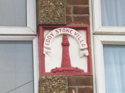
'DEVONION
COTTAGES
1882'
Once a word is enshrined in
carved lettering, one imagines that the builder or developer will
insist that it is used, even if it mis-spelt. So, not 'Devonian', as in
pertaining to Devon; more relating to the allium family of bulbs coming
from that county, as in 'onion'.
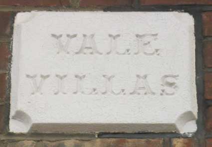
'KENTISH TERRACE
1882'
We Hertfordshirians (sadly, now
we might be referred to as Greater Londonians), when we see the word
'Kentish', immediately think of the north London suburb of Kentish
Town. Simon Knott (of Simon's Suffolk churches, see Links) reminds us that Kentish Town is a place,
where the Dukes of Devonshire, for whom Cavendish Street is named,
owned a great deal of land. The explanation of the name of Kentish Town
may be a derivation from 'Ken-ditch' meaning the 'bed of a waterway'.
It was was originally a settlement along the River Fleet which flowed
through the area, and today runs underground. Kentish Town is first
recorded during the reign of King John (1207) as 'kentisston'. By 1456
Kentish Town was recognised as a thriving hamlet, and in this period a
chapel of ease is recorded as being built for the inhabitants. These
days, Kentish Town is know to most people as a stop on the Northern
Line
(or a traffic queue on the road to central London) and a typical
overbuilt, over-traffic'd, over-populated inner London suburb.
The additional layer of meaning comes from the difference
between the appellations: 'A Man/Maid of Kent' and 'A Kentish
Man/Maid'. The former would be born (broadly-speaking) east of the
River Medway and the latter west of the Medway; needless to say, it's
bit more complex than that and the distinction might go back to
Anglo-Saxon times. However, the word 'Kentish' has resonance, perhaps
suggesting the Garden of England and therefore appropriate for the many
orchards and kitchen gardens which grew up around the FLS developments
in east Ipswich.
 Nos.
117/119
Nos.
117/119
 Nos.
124/126
Nos.
124/126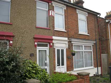
 Nos.
134/136
Nos.
134/136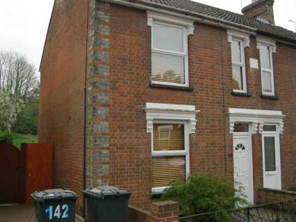
 Nos.
138/140
Nos.
138/140
 Nos.
175/177
Nos.
175/177
 No.189
 Nos.
237/239
Nos.
237/239
 No.
265
No.
265
 Nos.
273/275
Nos.
273/275
 No.
274
No.
274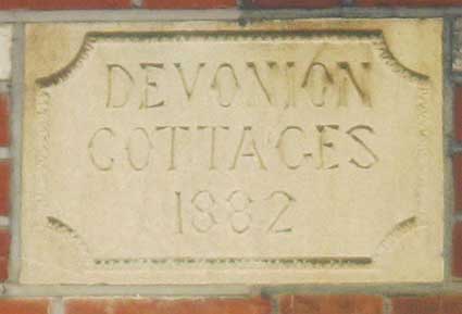 Nos.
269/271
Nos.
269/271 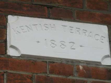 No. 294?
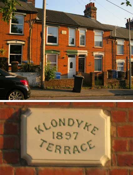 Nos.
304/306
Nos.
304/306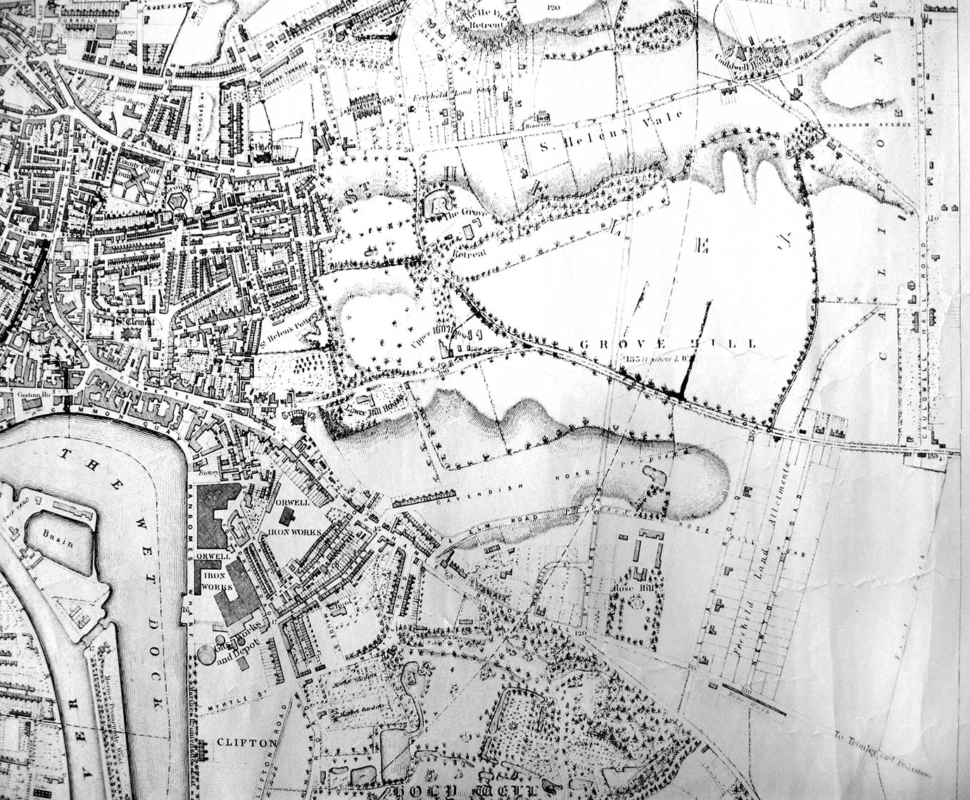 1867
map
1867
map