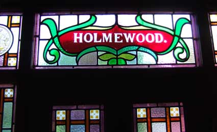
 2014 image
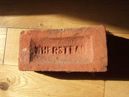
 Photographs
courtesy Des Pawson
Photographs
courtesy Des Pawson
 Detail of
Ogilby's map 1674
Detail of
Ogilby's map 1674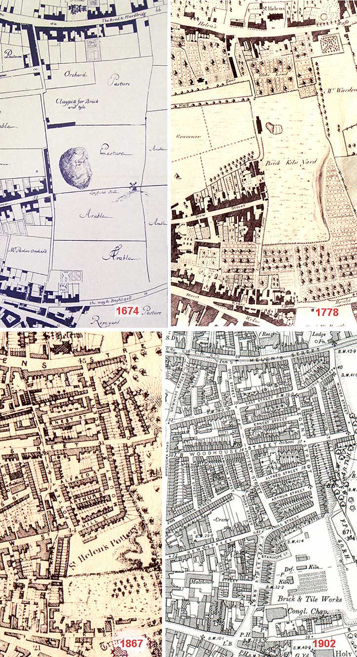
 1884 map
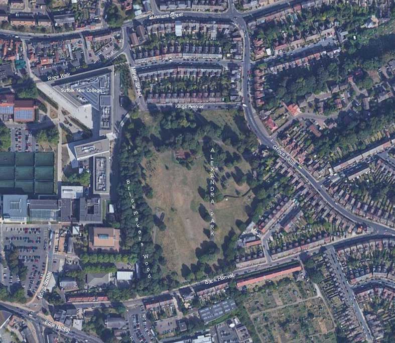
 1930 map
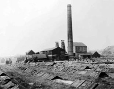
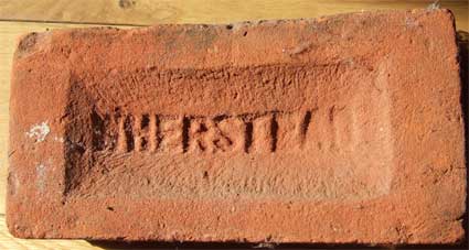
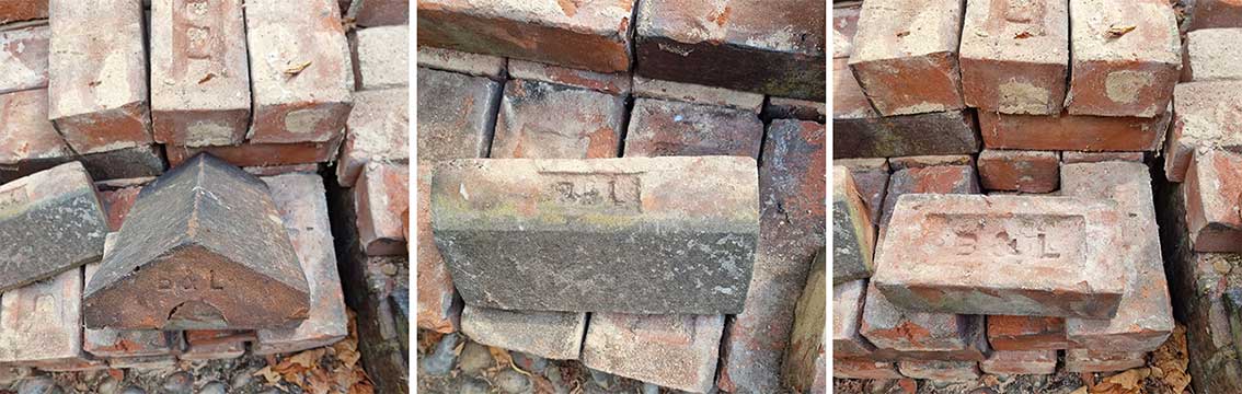
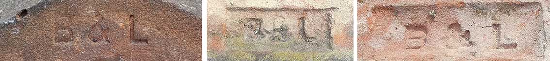
 Bolton
& Laughlin's brickyard
Bolton
& Laughlin's brickyard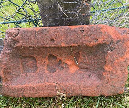 2021
image courtesy Lauren Page
2021
image courtesy Lauren Page
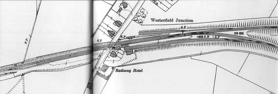 1928 map
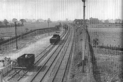
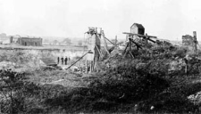
 1911
image
1911
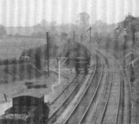
image  1900
image
1900
image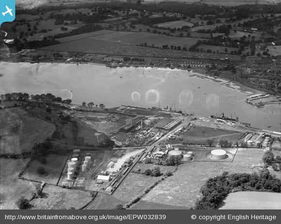 Image
courtesy Britain from above
Image
courtesy Britain from above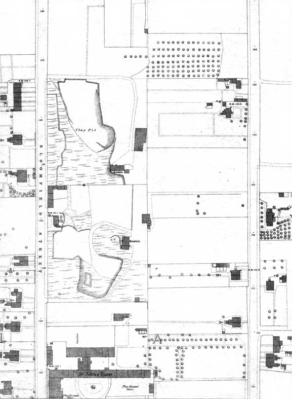 1883 map
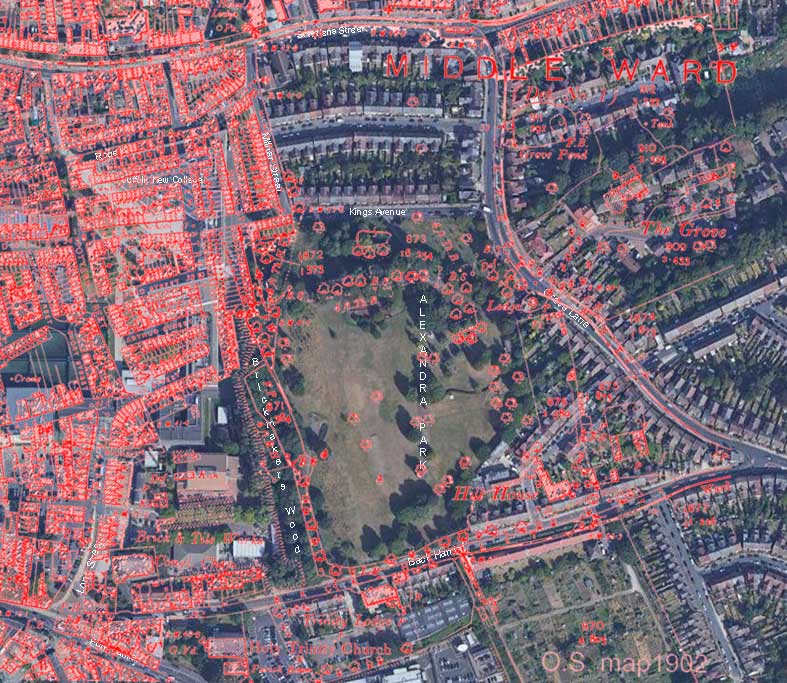
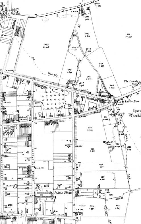 1902
map
1902
map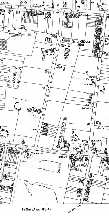 1902
map
1902
map  1924-5 map
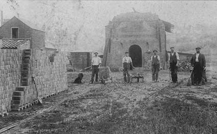 1920s/30s?
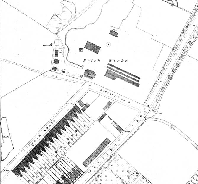 1883 map
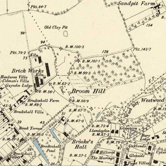 1884 map
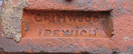 2024
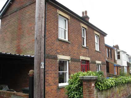
image courtesy Richard & Jean Attenborrow
2024
image courtesy Richard & Jean Attenborrow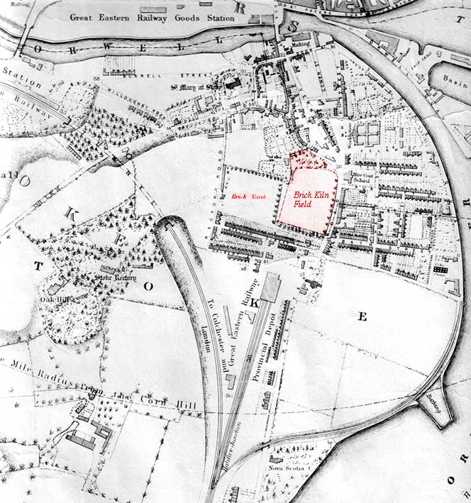 1867 with
1840 detail
1867 with
1840 detail