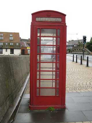
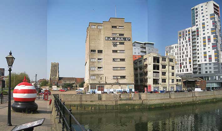
 2013 images
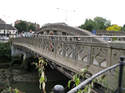
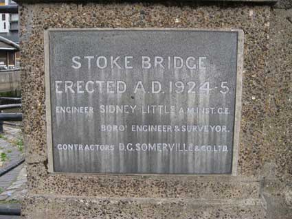
ERECTED A.D. 1924-5
MAYOR COL. F.W.TURNER'
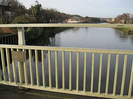
Only noticed in January, 2016 here's another plaque attached to the western parapet of the 'new' bridge with the Orwell stretching up towards the Princes Street bridge:
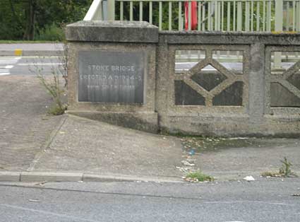
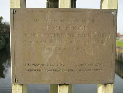
'SUFFOLK COUNTY COUNCIL
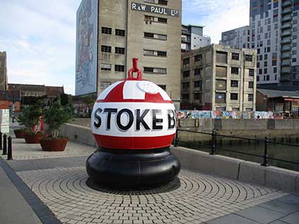
STOKE BRIDGE
OPENED BY CAPT. R.J. SHEEPSHANKS, D.L.,
CHAIRMAN OF THE COUNTY COUNCIL
AUGUST 22ND 1983
E.L. WILLIAMS O.B.E., C. ENG. COUNTY SURVEYOR
FRENCH KIER CONSTRUCTION LTD. MAIN CONTRACTOR'
STOKE BRIDGE
OPENED BY CAPT. R.J. SHEEPSHANKS, D.L.,
CHAIRMAN OF THE COUNTY COUNCIL
AUGUST 22ND 1983
E.L. WILLIAMS O.B.E., C. ENG. COUNTY SURVEYOR
FRENCH KIER CONSTRUCTION LTD. MAIN CONTRACTOR'
 2013
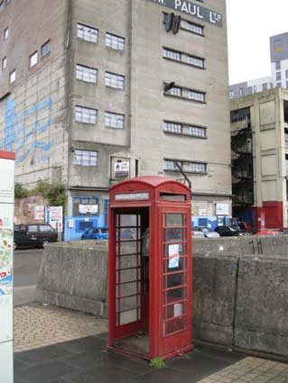
2013 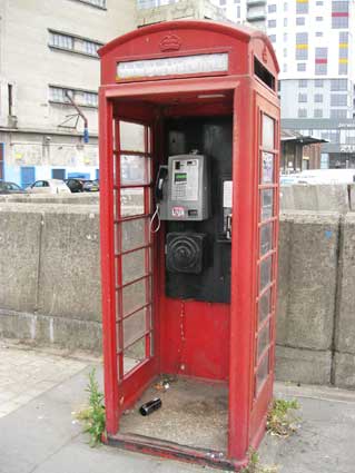 2014: phone
replaced, but not door...
2014: phone
replaced, but not door...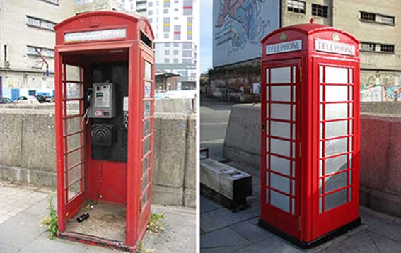


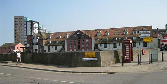
 2018 images
 2018
images
2018
images